![]()
![]()
![]()
Use LEFT and RIGHT arrow keys to navigate between flashcards;
Use UP and DOWN arrow keys to flip the card;
H to show hint;
A reads text to speech;
30 Cards in this Set
- Front
- Back
|
Lake |
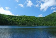
A large body of water; Ex. Smith Mountain Lake |
|
|
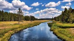
River
|
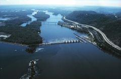
A large natural stream of water- empty into a ocean/lake etc. Ex. James river |
|
|
Tributary |
A smaller stream that flows into a river/ocean/lake etc. |
|
|
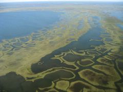
Gulf |
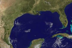
A large area of sea or ocean partially enclosed by land. Gulf of Mexico shown. |
|
|
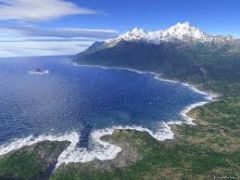
Bay |
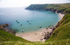
A body of water partially enclosed by land; typically smaller than a gulf. Ex. Chesapeake bay |
|
|
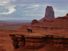
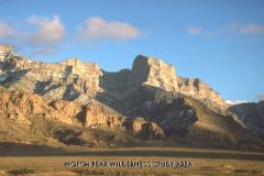
Mountain |
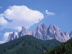
A natural elevation of the Earth's surface having considerable mass; height greater than a hill. |
|
|
Hill |
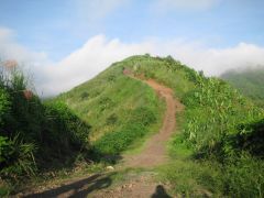
A well defined natural elevation smaller that a mountian. |
|
|
Plain |
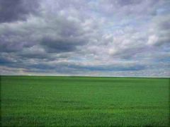
A large relatively flat area of land. |
|
|
Plateau |
A large, relatively flat, but elevated piece of land. |
|
|
Island |
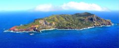
A land mass- smaller than a continent; surrounded by water. |
|
|
Peninsula |
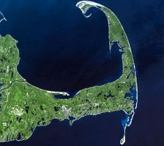
A piece of land that projects into a body of water and is connected with the mainland. |
|
|
Coastal Range |
Rugged mountians along the Pacfic Coast that stretch from California to Canada; Fertile valleys |
|
|
Basin and Range |
Located west of Rocky Mountians and east of the Sierra Nevada and the Cascades; Varying elevation and isolated mountain ranges; Death Valley- lowest point in North America |
|
|
Rocky Mountians |

Located west of the Great Plains and east of the Basin an Range; rugged mountains that stretch from Alaska to almost Mexico; Includes the Continental Divide, determines the direction that rivers flow. |
|
|
Great Plains |
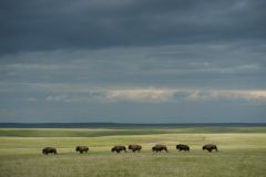
Located west of Interior Lowlands and east of the Rocky Mountians; Flat land that gradually increases in elevation; grasslands. |
|
|
Interior Lowlands |
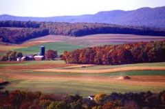
Located west of the Appalachian Mountians and east of the Great Plains; Rolling flat land, many rivers, broad river valleys, grassy hills. |
|
|
Appalachian Highlands |
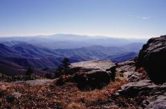
Located west of Coastal plain extending from eastern Canada to western Alabama; includes the Piedmont; old eroded mountains; oldest mountains in North America. |
|
|
Coastal Plain |
Located along the Atlantic Ocean Gulf oh\f Mexico; Broad lowlands that provide many excellent harbors. |
|
|
Canadian Shield |
Wrapped around Hudson Bay in a horseshoe shape |
|
|
Atlantic Ocean |
Served as a highway for early explorers and settlers. |
|
|
Pacific Ocean |
Early exploration destination. |
|
|
Mississippi River |
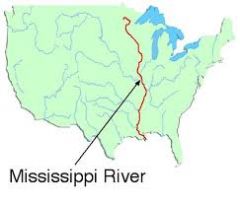
Transports farm and industrial products. Most famous. |
|
|
Missouri River |
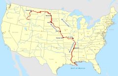
Transports farm and industrial products. Longest River. |
|
|
Ohio River |
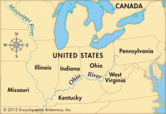
Gateway to the west. |
|
|
Columbia River |
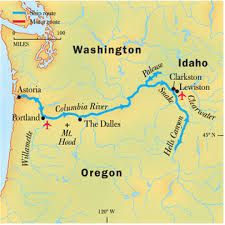
Explored by Lewis and Clark |
|
|
Colorado River |
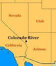
Explored by the spanish. |
|
|
Rio Grande River |
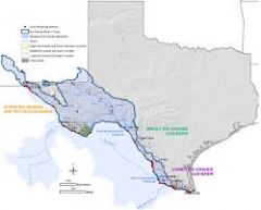
Forms a border between Mexico and the U.S |
|
|
St. Lawrence River |
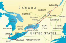
Northeastern border with Canada, connects the Great Lakes to the Atlantic Ocean. |
|
|
Gulf of Mexico |
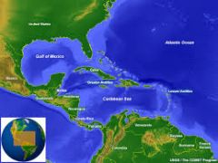
Provided the French and Spanish with an explortion route to Mexico and America. |
|
|
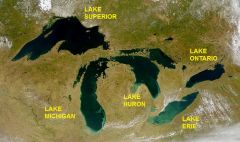
Great Lakes/HOMES |
Huron,Ontario,Michigan,Erie,Superior. |