![]()
![]()
![]()
Use LEFT and RIGHT arrow keys to navigate between flashcards;
Use UP and DOWN arrow keys to flip the card;
H to show hint;
A reads text to speech;
19 Cards in this Set
- Front
- Back
|
North Pole |
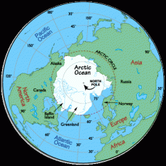
The North Pole is the place farthest north on earth. |
|
|
South Pole |
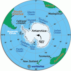
The South Pole is the place farthest south on Earth. |
|
|
globe |
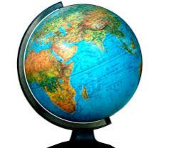
A globe is a sphere shaped model of the earth. |
|
|
map |
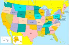
A map is a flat drawing of a place. |
|
|
map key |
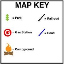
A map key tells what the symbols on a map mean. |
|
|
name the 4 oceans |

Atlantic, Pacific, Indian, Arctic |
|
|
equator |
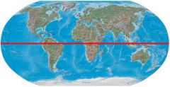
The equator is an imaginary line circling the earth, halfway between the North and South Pole. |
|
|
cardinal directions |
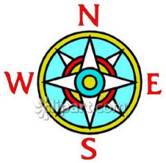
north, south, east, west |
|
|
intermediate directions |
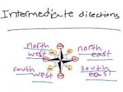
northwest, southwest, northeast, southeast |
|
|
name the seven continents |
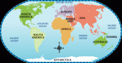
North America, South America, Africa, Europe, Asia, Australia, Antarctica |
|
|
latitude |
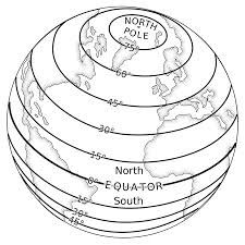
The lines of latitude are line that circle the earth running WEST to EAST. |
|
|
longitude |
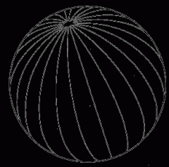
The lines of longitude are lines that circle the earth running NORTH to SOUTH. |
|
|
symbols |
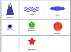
drawings that stand for things. |
|
|
compass rose |
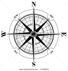
the guide to the directions on a map |
|
|
Rocky Mountains |
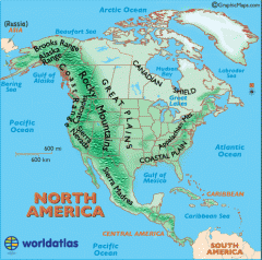
the largest mountain range in North America |
|
|
Mississippi River |
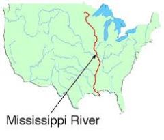
Longest River in US |
|
|
Austin, Texas |
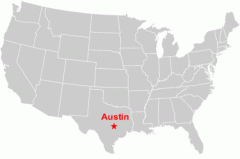
capital city of the state of Texas |
|
|
grid |
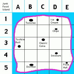
horizontal and vertical lines on a map which help to locate places |
|
|
map scale |
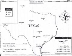
measurements on a map which allow you to calculate distance between locations |