![]()
![]()
![]()
Use LEFT and RIGHT arrow keys to navigate between flashcards;
Use UP and DOWN arrow keys to flip the card;
H to show hint;
A reads text to speech;
13 Cards in this Set
- Front
- Back
|
Atlantic Ocean? |
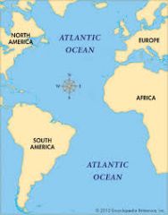
Server as an early highway for explorers, early setters, and immagrits. |
|
|
Pacific Ocean? |
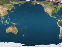
Early exploration destination. |
|
|
Mississippi River? |
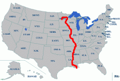
Used to transport farm and industrial products - most famous river. |
|
|
Missouri River? |
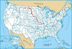
Used to transport farm and industrial products - longest river. |
|
|
Ohio River? |
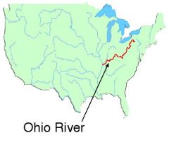
Gateway to the west. |
|
|
Columbia River? |
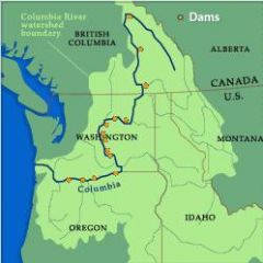
Explored by Lewis and Clark. |
|
|
Colorado River? |
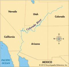
Explored by the Spanish |
|
|
Rio Grande River? |
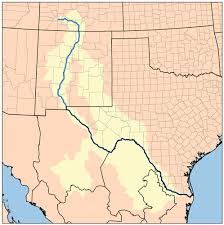
Forms the bordar between Mexico and U.S.A. |
|
|
St. Lawrence River? |
Northeastern border with canada - Connects Great Lakes to the Atlantic Ocean. |
|
|
Gulf of Mexico? |
Provided the French and Spanish with an exploration route to Mexico and America. |
|
|
Great Lakes? |

Inland port cities grew here in the midwest. Also there are 5 Great Lakes. |
|
|
5 Great Lake's Names? |
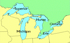
Huron, Ontario, Michigan, Erie, Superior or {HOMES} for short. |
|
|
Coastal Range geographic features |
Rugged Mountains along the Pacific Coast that stretch from California to Canada. It also has Fertile Valleys |