![]()
![]()
![]()
Use LEFT and RIGHT arrow keys to navigate between flashcards;
Use UP and DOWN arrow keys to flip the card;
H to show hint;
A reads text to speech;
33 Cards in this Set
- Front
- Back
|
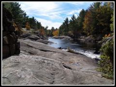
Hill |
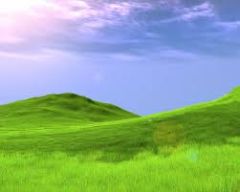
Anything bump in the land smaller than a mountain |
|
|
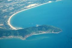
Peninsula |

A piece of land separated by land of three sides |
|
|
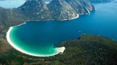
Island |
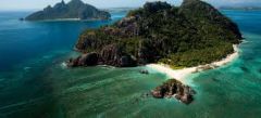
A piece of land with water on all sides |
|
|
Continent |
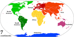
a large, continuous, discrete mass of land, ideally separated by an expanse of water |
|
|
Ocean |
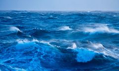
A huge body of water that separates continents, larger than a sea |
|
|
Peninsula |
A piece of land that projects into a body of water and is connected with the mainland |
|
|
Mountain |
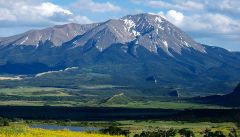
A very large elevated landform |
|
|
Tributary |
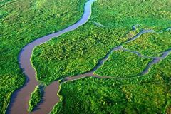
A smaller stream that flow into a river/ocean/lake etc. |
|
|
Gulf |
A large sea or ocean partially enclosed by land |
|
|
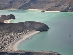
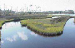
Bay |
A body of water partially enclosed by land; typically smaller than a gulf |
|
|
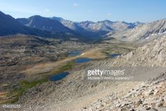
Plain |
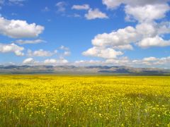
A large relatively flat area of land. |
|
|
Plateau |
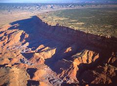
A large, relatively flat, but elavated area of land |
|
|
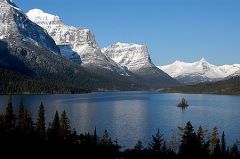
Lake |
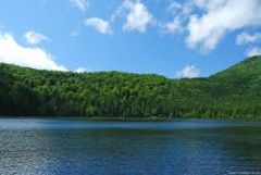
A large inland body of water; ex. Smith Mountain Lake |
|
|
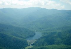
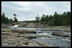
River |
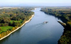
A large natural stream of water- empties into an ocean/lake etc |
|
|
Coastal Range |

-Rugged Mountains along the Pacific Coast that stretch from California to Canada, fertile valleys |
|
|
Basin and Range |
-Located West of Rocky Mountains and east of the Sierra Nevada and the Cascades -varying elevations and isolated mountain ranges - Death Valley, lowest point in North America |
|
|
Rocky Mountains |
-Located west of the Great Plains and east of the Basin and Range -rugged mountains stretching from Alaska to almost Mexico, high elevation -Continental Divide, determines the directional flow of rivers |
|
|
Great Plains |
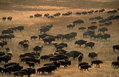
-Located west of the Interior Lowlands and east of the Rock Mountains -flat land that gradually increases westward; grasslands |
|
|
Interior Lowlands |
-Located west of the Appalachian Mountains and east of the Great Plains -Rolling flatlands, has many rivers, broad river valleys, and grassy hills |
|
|
Appalachian Mountains |
-Located west of Coastal Plain extending from eastern Canada to western Alabama; includes the piedmont. |
|
|
Coastal Plains |
-Located along the Atlantic Ocearn and Gulf of Mexico -Broad lowlands providing many excellent harbors |
|
|
Canadian Shield |
-Wrapped around the Hudson Bay in a horseshoe shape -hills worn by erosion -hundreds of lakes carved by glaciers |
|
|
Mississippi River |
Transportation artery for farm and industrial products |
|
|
Missouri River |
Transportation artery for farm and industrial products t |
|
|
Ohio River |
Known as the "Gateway to the West" |
|
|
Columbia River |
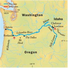
Explored by Lewis and Clark |
|
|
Colorado River |
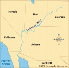
Explored by the Spanish |
|
|
Rio Grande |
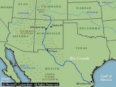
Border between Texas and Mexico |
|
|
Great Lakes |
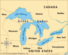
Inland port cities in the midwest |
|
|
Gulf of Mexico |
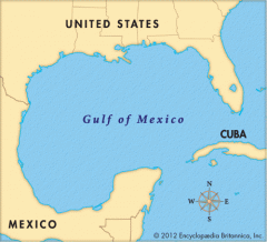
Provided French and Spanish exploration routes |
|
|
St. Lawrence |
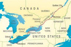
Connects the Great Lakes with the Atlantic Ocean |
|
|
Atlantic Ocean |
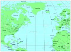
Highway for early explorers, settlers, and later immigrants |
|
|
Pacific Ocean |
Early exploration destination |