![]()
![]()
![]()
Use LEFT and RIGHT arrow keys to navigate between flashcards;
Use UP and DOWN arrow keys to flip the card;
H to show hint;
A reads text to speech;
21 Cards in this Set
- Front
- Back
|
Coastal Range |
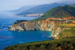
Rugged mountains along the Pacific Coast that stretch from California to Canada |
|
|
Basin and Range |
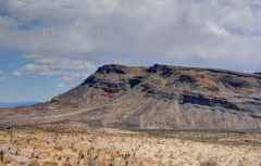
Located west of Rocky Mountains and east of the Sierra Nevada and the Cascade |
|
|
Rocky mountains |
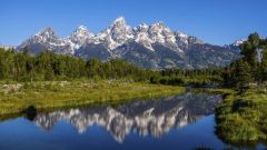
Located west of the Great Plains and east of the Basin and Range |
|
|
Great Plains |
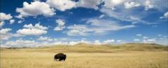
Located west of Interior Lowlands and east of the Rocky mountains |
|
|
Interior Lowlands |
Located west of the Appalachain mountains and east of the Great Plains |
|
|
Appalachain Highlands |
Located west of Coastal Plain extending from eastern Canada to western Alabama;includes the Piedmont |
|
|
Coastal Plains |
Located along the Alantic ocean and Gulf of Mexico |
|
|
Canadian Sheild |
Wrapped around Hudson bay in a horseshoe shape |
|
|
Hill |
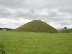
A well defined natural elevation smaller then a hill |
|
|
Mountain |
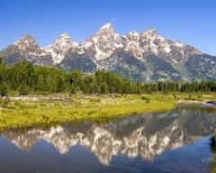
A natural elevation of the earths surface having considerable mass;height |
|
|
Plains |
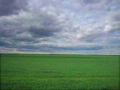
A large relatively flat area of land |
|
|
Plateaus |
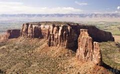
A large, relatively flat, but elevated area of land |
|
|
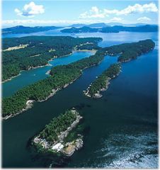
Island |
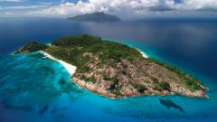
A land mass- smaller than a continent surrounded by water |
|
|
Peninsulas |
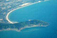
A piece of land that projects into a body of water and is connected with the mainland |
|
|
Lake |
A large inland body of water; Ex. Smith Mountain Lake |
|
|
River |
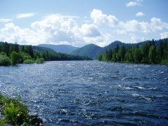
A large natural stream of water-empty into an ocean/lake etc |
|
|
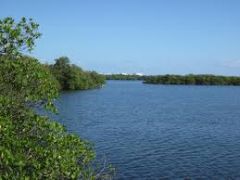
Tributary |
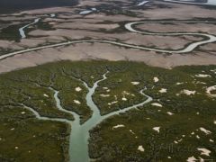
A smaller stream that flows into a river/ocean/lake etc |
|
|
Gulf |
A large area of sea or ocean partially enclosed by land |
|
|
Bay |
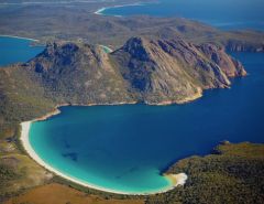
A body of water partially enclosed by land; typically smaller than a gulf |
|
|
Atlantic Ocean |
Served as a high way for early explorers |
|
|
Pacific Ocean |
Early exploration |