![]()
![]()
![]()
Use LEFT and RIGHT arrow keys to navigate between flashcards;
Use UP and DOWN arrow keys to flip the card;
H to show hint;
A reads text to speech;
15 Cards in this Set
- Front
- Back
|
The Atlantic Ocean |
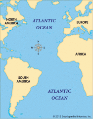
served as an early for explorers,early settlers,and immigrants |
|
|
The Pacific Ocean |
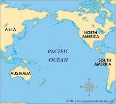
also explored by early settlers,and immigrants
|
|
|
The Mississippi River |
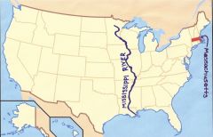
used to transport farm and industrial products - most famous river
|
|
|
The Missouri River |
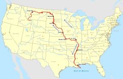
also used to transport farm and industrial products - longer rive |
|
|
The Ohio River |
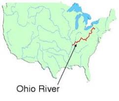
The Gateway to the west |
|
|
Columbia River |
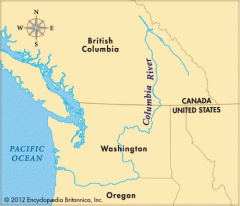
Explored by Lewis and Clark |
|
|
Colorado River |
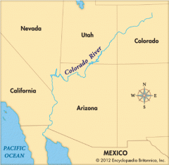
Explored by the spanish{Coronado} |
|
|
Rio Grande River |
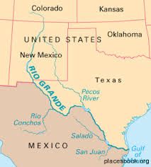
Forms the border between Mexico and the USA |
|
|
St. Lawrence RIver |
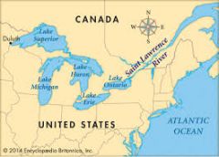
North eastern border with Canada - connects Great Lakes to the Atlantic Ocean |
|
|
Gulf of Mexico |
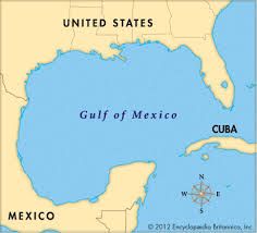
Provided the French and Spanish with an exploration route to Mexico and America |
|
|
Great Lakes {HOMES} Huron Ontario Michigan Erie |
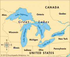
Island port cites grew here in the Midwest |
|
|
Coastal Range |
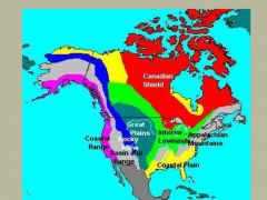
Rugged mountains along the Pacific Coast that stretch from California to Canada |
|
|
Basin and Range |
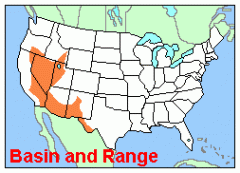
located west of the Rocky Mountains and east of the Sierra Nevada and the Cascades |
|
|
Rocky Mountains |
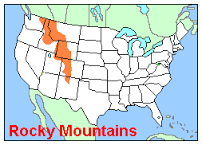
Located west of the Great Plains and east of the Basin and Range |
|
|
Great Plains |
Located wes of the Great Plains and east of the Basin and Range |