Reading...
![]()
Play button
![]()
Play button
![]()
Use LEFT and RIGHT arrow keys to navigate between flashcards;
Use UP and DOWN arrow keys to flip the card;
H to show hint;
A reads text to speech;
11 Cards in this Set
- Front
- Back
|
Atlantic Ocean
|
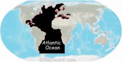
Served as a highway for early explorers and settlers.
|
|
|
Pacific Ocean
|
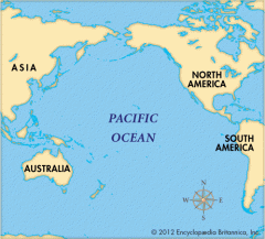
Early exploration destination
|
|
|
Mississippi River
|
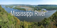
Transports farm and industrial products (most famous river)
|
|
|
Missouri River
|
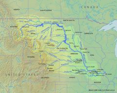
Transports farm and industrial products (longest river)
|
|
|
Ohio River
|
Gateway to the west
|
|
|
Columbia River
|
Explored by Lewis and Clark
|
|
|
Colorado River
|
Explored by the Spanish
|
|
|
Rio Grande River
|
Forms the border of Mexico and USA
|
|
|
St. Lawrence River
|
Northeast border with Canada. (connects Great Lakes to the Atlantic Ocean)
|
|
|
Gulf of Mexico
|
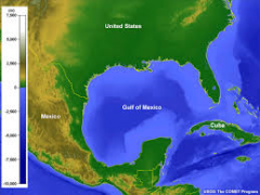
Provided the French and Spanish with an exploratory route to Mexico and America.
|
|
|
Great Lakes
|
Inland port cities grew here in the Midwest. (Huron, Ontario, Michigan, Erie, and Superior
|