![]()
![]()
![]()
Use LEFT and RIGHT arrow keys to navigate between flashcards;
Use UP and DOWN arrow keys to flip the card;
H to show hint;
A reads text to speech;
16 Cards in this Set
- Front
- Back
|
Atlantic Ocean |
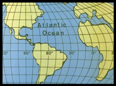
served as an early highway for explorers ,early settlers and immingernts |
|
|
Pacific ocean |
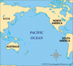
early exploration destination |
|
|
Mississippi River |
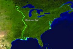
used to transport farm and industrial products - most famous river |
|
|
Missouri River |
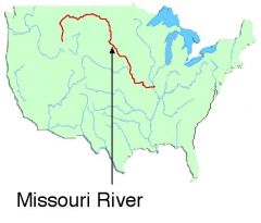
(same as above ) - longest river |
|
|
Ohio River |
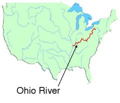
gateway to the west |
|
|
Columbia River |
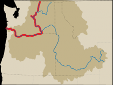
explored by Lewis and Clark |
|
|
Colorado River |
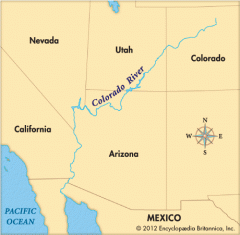
explored by the Spanish ( Coronado) |
|
|
Rio Grande River |
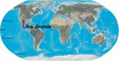
forms borders between Mexcio and USA |
|
|
St. Lawrence River |
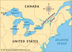
northeastern border with Canada -connects Great lakes to the Atlantic Ocean |
|
|
Gulf of Mexico |

provide the French and Spanish with an Exploration route to Mexico and America |
|
|
Great Lakes (Homes) Huron Ontario Michigan Erie Superior |
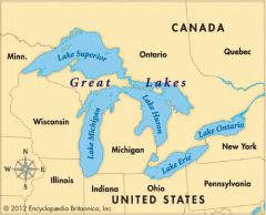
inland port cities grew here in the mid west |
|
|
Coastal range |
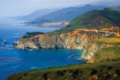
Rugged Mountain along the pacific that stretch from California to Canada Fertile valleys |
|
|
Basin and Range |
l |
|
|
gdufgie |
8fr9bwdfihfjW |
|
|
UHIQEFG |
R3dcw |
|
|
nsvtnjhywrynusi |
nrfenjfvnadbakfgkjjbrt |