![]()
![]()
![]()
Use LEFT and RIGHT arrow keys to navigate between flashcards;
Use UP and DOWN arrow keys to flip the card;
H to show hint;
A reads text to speech;
8 Cards in this Set
- Front
- Back
|
coastal Range |
rugged mountains along the pacific coast that streches from califorinia to canada fertile valleys |
|
|
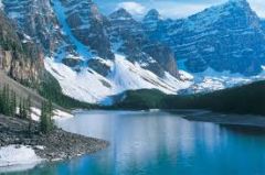
basin and range |
location:west of rockey mountains and east of the sierra nevada and the cascades varing elevations and istation moutains ranges death valley lowest point in North America
|
|
|
rocky mountains |
located west of the Great Plains and east of the basin and range rugged mountains high elevations continental divide determines the derection flow of rivers |
|
|
Great Plains |
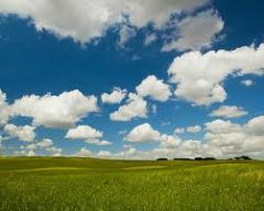
west of the Interior Lowlands, east of the rocky Montains flat land that gradually increases westward ; grass land |
|
|
Interior lowlands |
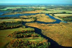
-west of the Appalachian mountains, east of great plains -rolling flat lands many rivers grassy hills |
|
|
appalchian Mountains |
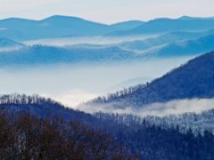
west of coastal plains extending from eastern Canada to western Alabama; includes the peidmont -old rounded mountains oldest in North America |
|
|
Coastal Plains |
along the Atlantic Ocean and Gulf of Mexico -boad lowlands providing many excellent harbors |
|
|
Canadian sheild |
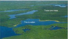
*wrapped around Hudson Bay in a horse shoe shape -hills worn by erosion -100's of lakes carved by glaciers |