![]()
![]()
![]()
Use LEFT and RIGHT arrow keys to navigate between flashcards;
Use UP and DOWN arrow keys to flip the card;
H to show hint;
A reads text to speech;
17 Cards in this Set
- Front
- Back
|
Atlantic Ocean |
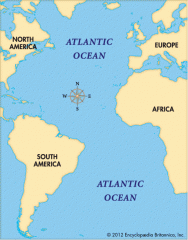
Highway for explorers, early settlers, and later immigrants |
|
|
Pacific Ocean |
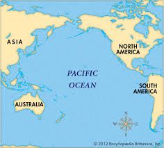
Early exploration destination |
|
|
Mississippi River |
Transport farm and industrial products- The most famous river |
|
|
Missouri River |
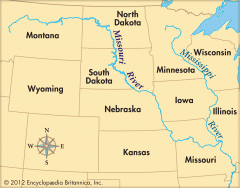
Transport farm and industrial products- The longest river |
|
|
Ohio River |
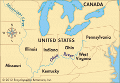
Gateway to the west |
|
|
Columbia river |
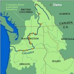
Explored by Lewis and Clark |
|
|
Colorado River |
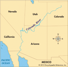
Explored by the Spanish (Coronado) |
|
|
Rio Grande River |
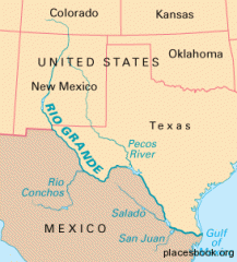
The border between Mexico and the USA |
|
|
St.Lawrence River |
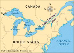
Northeastern border with Canada connects the Great lakes to the Atlantic Ocean |
|
|
Gulf of Mexico |
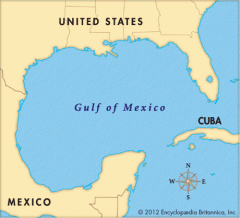
Provided the French and Spanish with an exploration route to Mexico and America |
|
|
Great Lakes (Homes) |
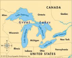
Inland port cities grew here in the midwest. Huron, Ontario, Michigan, Erie, Superior |
|
|
Coastal Range |
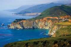
Rugged Mountains along the Pacific Coast that stretch from Californa to Canada Fertile valleys |
|
|
Basin and Range |
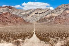
West of the Rocky Mountains and east of the Sierra Nevada and the Cascades Varying elevations with isolated mountain ranges-Death Valley lowest point in NA |
|
|
Rocky Mountains |
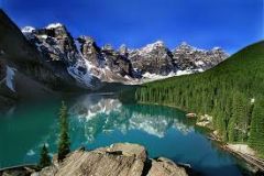
Located west of the Interior Lowlands and East of the Rocky Mountains Rugged Mountains that stretch from Alaska to almost Mexico; High elevations Continental Divide-Determines which direction rivers flow |
|
|
Great Plains |
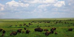
Located west of the Interior Lowlands and east of the Rocky Mountains Flat lands that gradually increase in elevations westward; grasslands |
|
|
Interior Lowlands |
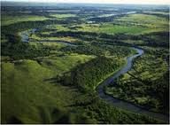
West of the Appalachian mountains and east of Great Plains Rolling flatland's with many rivers, broad river valleys and grassy hills |
|
|
Appalachian Highlands |
West of Coastal Plain extending from eastern Canada to western Alabama; Includs the Piedmont Old eroded mountains, and oldest mountain range in North America |