![]()
![]()
![]()
Use LEFT and RIGHT arrow keys to navigate between flashcards;
Use UP and DOWN arrow keys to flip the card;
H to show hint;
A reads text to speech;
23 Cards in this Set
- Front
- Back
|
Mountain |
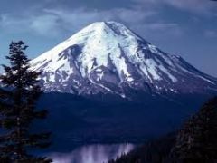
A natural elevation of the earth's surface having considerable mass;height greater than a hill |
|
|
Bay |
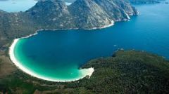
A body of water particularly enclosed by land;typically smaller than a gulf |
|
|
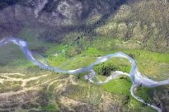
River |
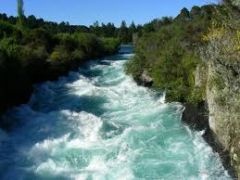
A natural stream of water-empty into an ocean/lake etc |
|
|
Gulf |
A large area of sea or ocean partially enclosed by land |
|
|
Plain |
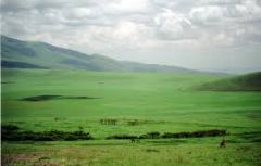
A large relatively flat area of land |
|
|
Hill |
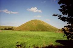
A well-defined natural elevation smaller than a mountain |
|
|
Tributary |
A smaller stream that flows into a river/ocean/lake etc |
|
|
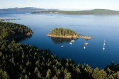
Island |
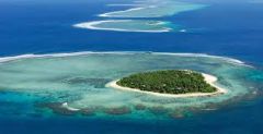
A land mass- smaller than a continent surrounded by water |
|
|
Plateau |
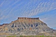
A large, relatively flat, but elevated area of land |
|
|
peninsula |
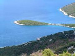
A piece of land that projects into a body of water and is connected with mainland |
|
|
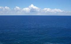
Atlantic Ocean |
Highway for explorers,early settlers,and later immagrants |
|
|
Pacific Ocean |
Early exploration destination |
|
|
Mississippi River |
Transport farm and industrial products-the most famous river |
|
|
Missouri River |
Transport farm and industrial products-most famous river |
|
|
Ohio River |

The gateway to the west |
|
|
Columbia River |
Was explored by Lewis and Clark |
|
|
Colorado River |
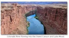
Was explored by the Spanish |
|
|
Rio Grande River |
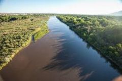
Border between Mexico and United States |
|
|
St. Lawrence River |
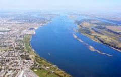
Northeastern border with Canada-connects Great lakes to the Atlantic Ocean |
|
|
Gulf of Mexico |
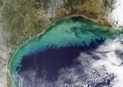
Provided the French and the Spanish with an exploration route Mexico and United States |
|
|
Great Lakes |
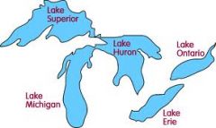
Inland port cities grew here in the mid-west |
|
|
Coastal Range |

Rugged mountains along the Pacific Coast that stretch from California to Canada |
|
|
Basin & Range |
Located west of the Rocky Mountains and |