![]()
![]()
![]()
Use LEFT and RIGHT arrow keys to navigate between flashcards;
Use UP and DOWN arrow keys to flip the card;
H to show hint;
A reads text to speech;
30 Cards in this Set
- Front
- Back
|
Atlantic Ocean |
served as early highway for explorers, early settlers, and immigrants |
|
|
Pacific Ocean |
early exploration destination |
|
|
Mississippi River |
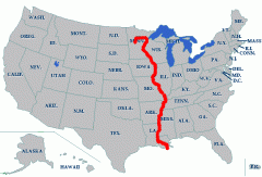
used to transport farm and industrial products, most famous river |
|
|
Missouri River |
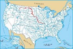
used to transport farm and industrial products, longest river |
|
|
Ohio River |
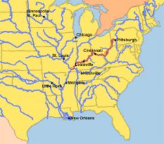
Gateway to the West |
|
|
Columbia River |
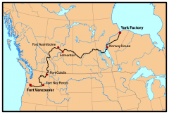
explored by Lewis and Clark |
|
|
Colorado RIver |
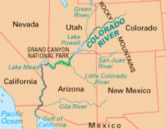
explored by Spanish (Coronado) |
|
|
Rio Grande River |
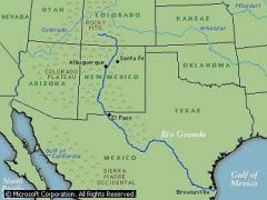
forms the border between Mexico and USA |
|
|
St. Lawrence River |
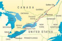
northeastern border with Canada, connects Great Lakes to the Atlantic Ocean |
|
|
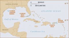
Gulf of Mexico |
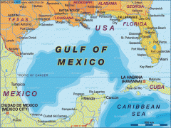
provided French and Spanish with exploration route to Mexico and America |
|
|
Great Lakes |
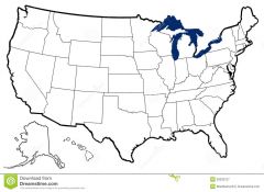
inland port cities grew here in Midwest H: Huron O: Ontario M: Michigan E: Erie S: Superior |
|
|
Coastal Plain |
located along the Atlantic Ocean and Gulf of Mexico, broad lowlands providing many excellent harbors |
|
|
Appalachian Highlands |
located west of the Coastal Plain, extends from eastern Canada to western Alabama, includes the Piedmont, old eroded mountains (old mountain range in North America |
|
|
Canadian Shield |
wrapped around the Hudson Bay in a horseshoe shape, hills worn by erosion and hundreds of lakes carved by glaciers |
|
|
Interior Lowlands |
located west of the Appalachian Mountains and east of the Great Plains, rolling flatlands with many rivers, broad river valleys, and grassy hills |
|
|
Great Plains |
located west of the Interior Lowlands and east of the Rocky Mountains, flat lands that gradually increase in elevation westward, grasslands |
|
|
Rocky Mountains |
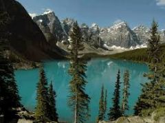
located west of the Great Plains and east of the Basin and Range, rugged mountains stretching from Alaska to almost Mexico, high elevations, contains Continental DIvide (determines the directional flow of rivers) |
|
|
Basin and Range |
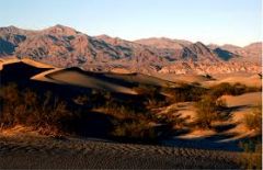
located west of the Rocky Mountains and east of the Sierra Nevadas and the Cascades, varying elevations containing isolated mountains ranges and Death Valley |
|
|
Coastal Range |
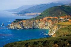
located along the Pacific Ocean, stretches from California to Canada, rugged mountains and fertile valleys |
|
|
water- lake |
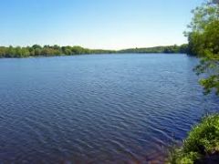
a large inland body of water |
|
|
water- river |
a large natural stream of water |
|
|
water- tributary |
a smaller stream that flows into a river/lake, etc.
|
|
|
water- gulf |
a large area of sea or ocean partially enclosed by land |
|
|
water- bay |
a body of water partially enclosed by land, typically smaller than a gulf |
|
|
land- mountain |
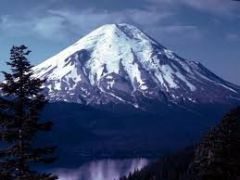
a natural elevation of the earth's surface having considerable mass, height greater than a hill |
|
|
land- hill |
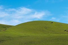
a well-defined natural elevation smaller than a mountain |
|
|
land- plain |
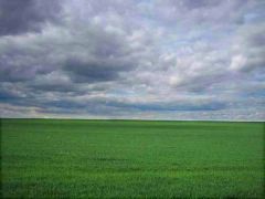
a large relatively flat area of land |
|
|
land- plateau |
a large and relatively flat but elevated area of land |
|
|
land- island |
a land mass, smaller than a continent surrounded by water |
|
|
land- peninsula |
a piece of land that projects into a body of water and is connected with the mainland |