![]()
![]()
![]()
Use LEFT and RIGHT arrow keys to navigate between flashcards;
Use UP and DOWN arrow keys to flip the card;
H to show hint;
A reads text to speech;
20 Cards in this Set
- Front
- Back
|
Lake |
A large inland body of water |
|
|
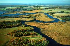
River |
A large natural stream of water - emptys out into an ocean or a lake. |
|
|
Tributary |
A smaller stream that flows into a river, ocean, or a lake. |
|
|
Gulf |
A large area of sea or ocean partially enclosed by land. |
|
|
Bay |
A body of water partially enclosed by land; typically smaller than a gulf. |
|
|
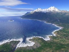
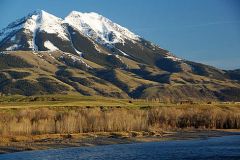
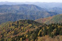
Mountain |
A natural elevation of the earth's surface having consiberable mass; height greater than a hill. |
|
|
Hill |
A well-defined natural elevation smaller than a mountain. |
|
|
Plain |
A large relatively flat area of land. |
|
|
Plateau |
A large, relatively flat, but elvated area of land. |
|
|
Island |
A land mass- smaller than a continent surrounded by water. |
|
|
Peninsula |
A piece of land that projects into a water and is connected with the mainland |
|
|
Coastal Range |
Rugged mountains along the Pacific Coast that stretch from Californa to Canada. Fertile Valleys. |
|
|
Basin and Range |
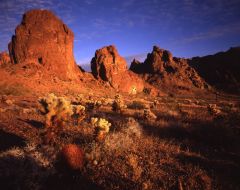
Located west of the Rocky Mountains and east of the Sierra Nevada and the Cascades. Varying elevations with isolated mountain ranges - contains Death Valley - lowest point in North America. |
|
|
Rocky Mountains |
Located west of the Great Plains and east of the Basin and Range. Rugged mountains - stretch from Alaska to almost Mexico. Contain the Continental Divide - determines the directional flow of rivers. |
|
|
Great Plains |
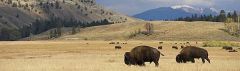
Located west of the Interior Lowlands and east of the Rocky Mountains. Flat land, that gradually increase in elevation westward grasslands. |
|
|
Interior Lowlands |
Located west of the Appalachian Mountains and east of the Great Plains. Rolling flat lands, many rivers, valleys, and grassy hills. |
|
|
Appalachian Highlands |
Located west of Coastal Plain extendind from eastern Canada to western Alabama; inculdes the Piedmont |
|
|
Coastal Plains |

Located along the Atlantic Ocean and Gulf of Mexico. Broad lowlands that provides many excellent harbors |
|
|
Canadian Sheild |
Wrapped around Hudson Bay ina horseshoe shape. Hills worn by erosion. 100's of lakes carved by glaciers. |
|
|
Atlantic Ocean |
Served as an |